Geophysical Survey at Baelo Claudia, Andalucia, Spain May 2016
Geophysical Survey at Baelo Claudia, Andalucia, Spain May 2016
By Kristian D. Strutt
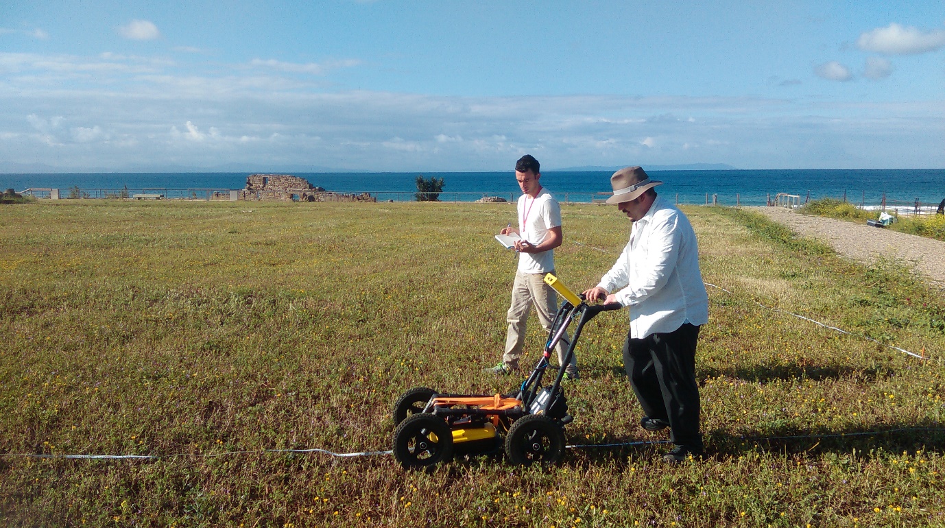
As part of the ERC funded RoMP/Portuslimen project a season of geophysical survey was undertaken at the city of Baelo Claudia, in Andalusia, Spain. Work was undertaken by a team of surveyors from the Department of Archaeology at the University of Southampton in collaboration with staff from the Junta de Andalucia and the University of Cadiz. The survey team comprised the author, Peter Wheeler, Stephen Guy-Gibbens, Christopher Oakes, Ferreol Salomon, Quentin Drillat and Nicolas Carayon. The field season focused on Ground Penetrating Radar (GPR) and magnetometer survey of the southern sector of the Roman town and foreshore, to map the nature and extent of the town and port facilities on this part of the coastline. In addition Ferreol Salomon and Nicolas Carayon conducted a series of augur surveys over the area to provide sedimentary records for the beach and stream to the west of Baelo Claudia.
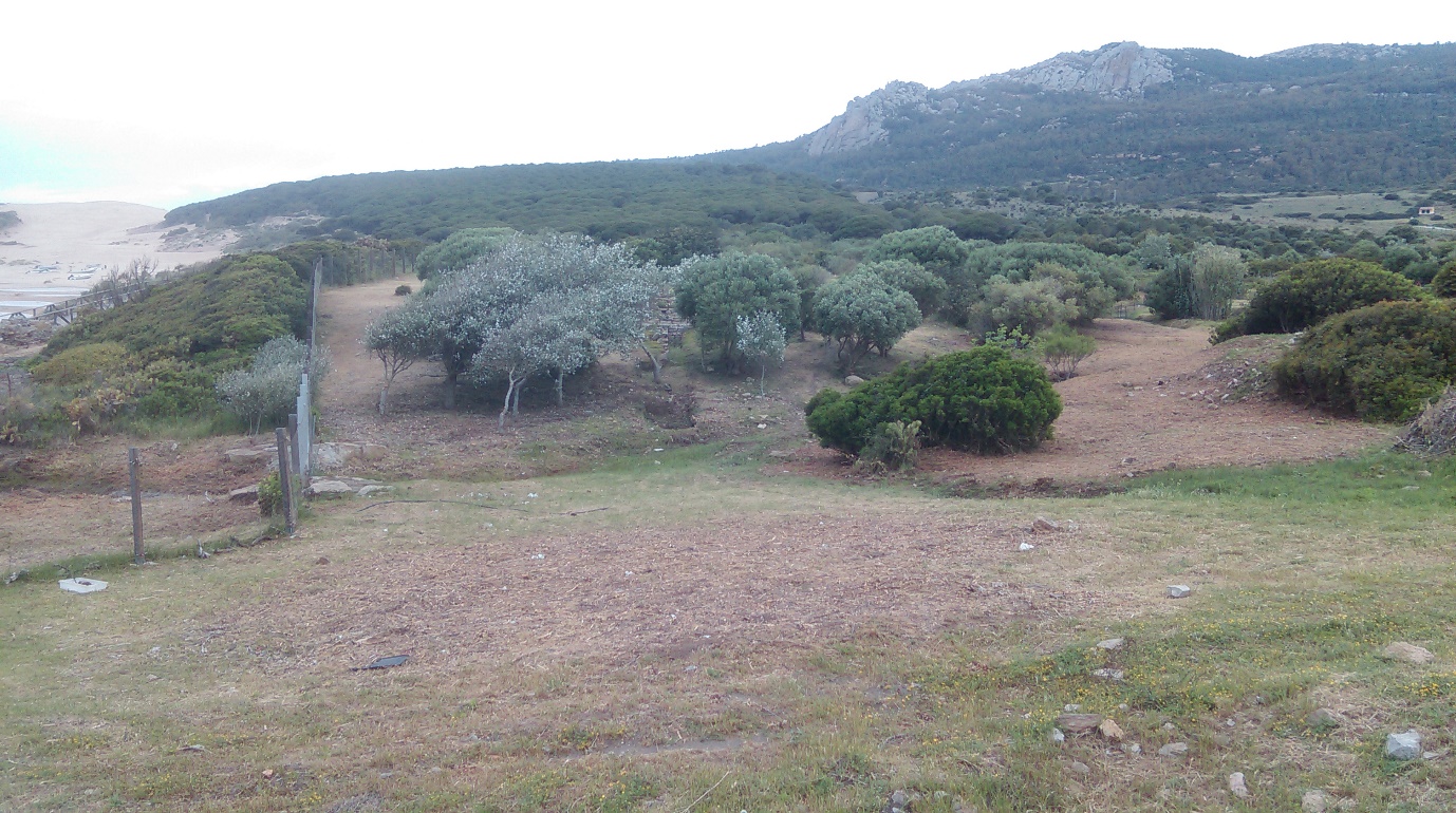
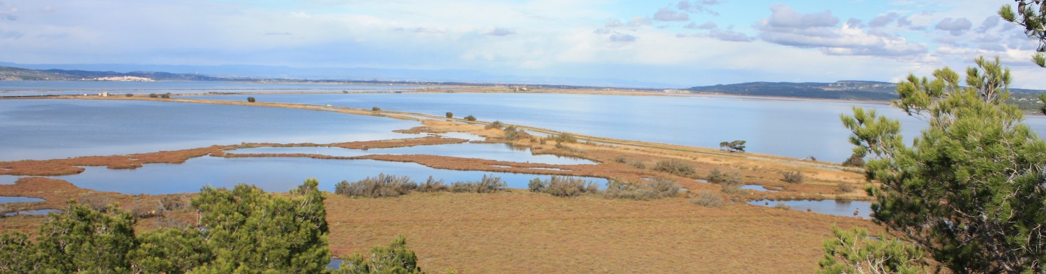
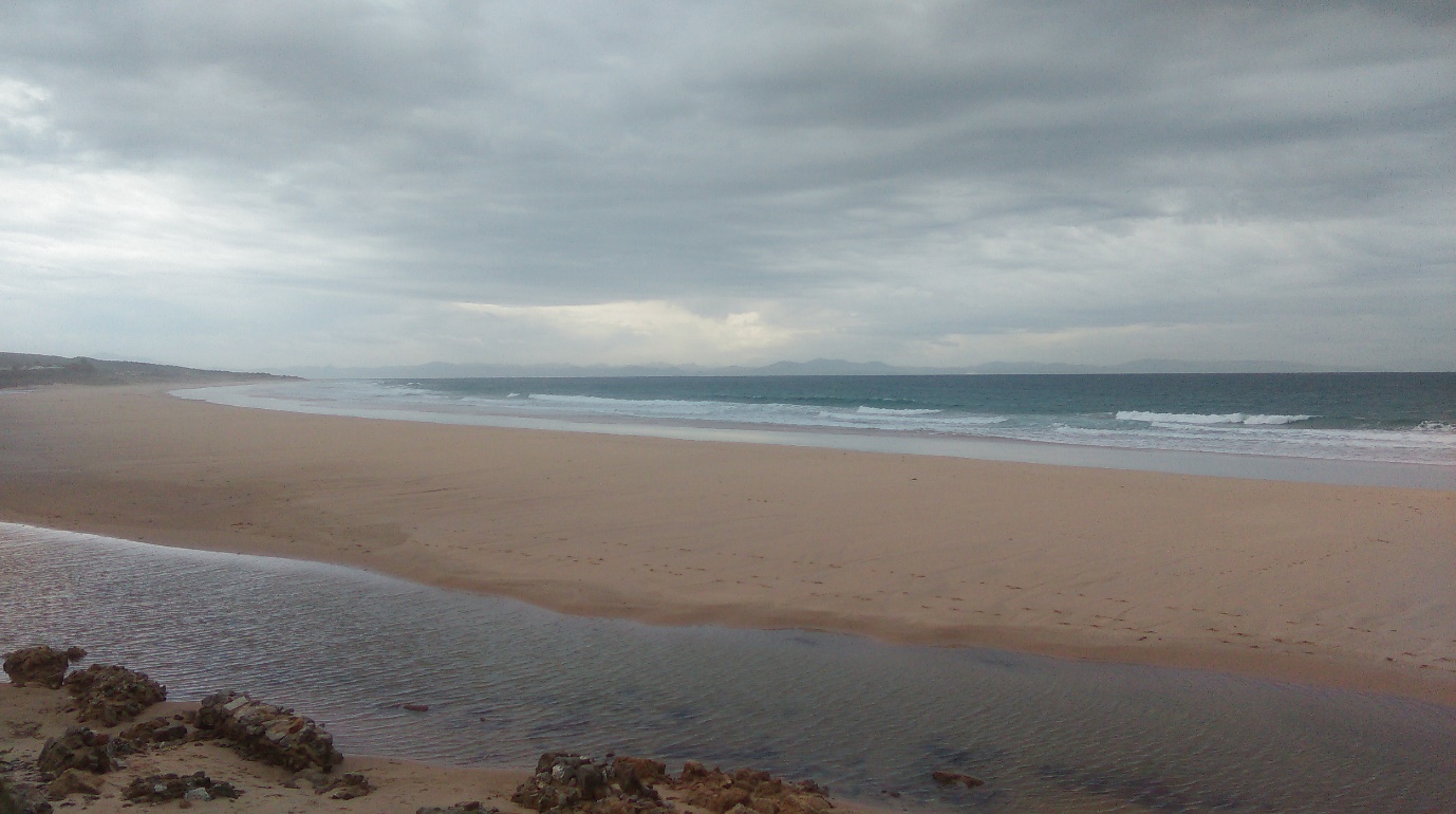
The survey focused on the insulae in the south part of Baelo, adjacent to the fish sauce preparation areas in the excavations, the area to the west of these insulae including the area of the recent bathhouse excavations, and the beach immediately to the south of the archaeological site. The survey was initiated with the aim of investigating the presence and nature of structures and a harbour along the southern edge of Baelo, and to resolve the relationship between one of the streams, the modern course of which takes it past the south-west part of the Roman town.
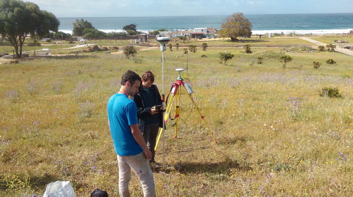
For the geophysical survey a Leica RTK GPS was used to establish a base station in the centre of the site. The GPS rover was then used to survey in the survey grid, with bamboo markers placed at 30m by 30m intervals across the survey area.
The primary geophysical survey method used at Baelo was Ground Penetrating Radar (GPR). Survey was conducted using a Sensors and Software Noggin Plus and Smartcart, with a 500MHz antenna. Traverses of data were collected at 0.5m intervals, with traces collected every 0.025m along each traverse to 80ns.
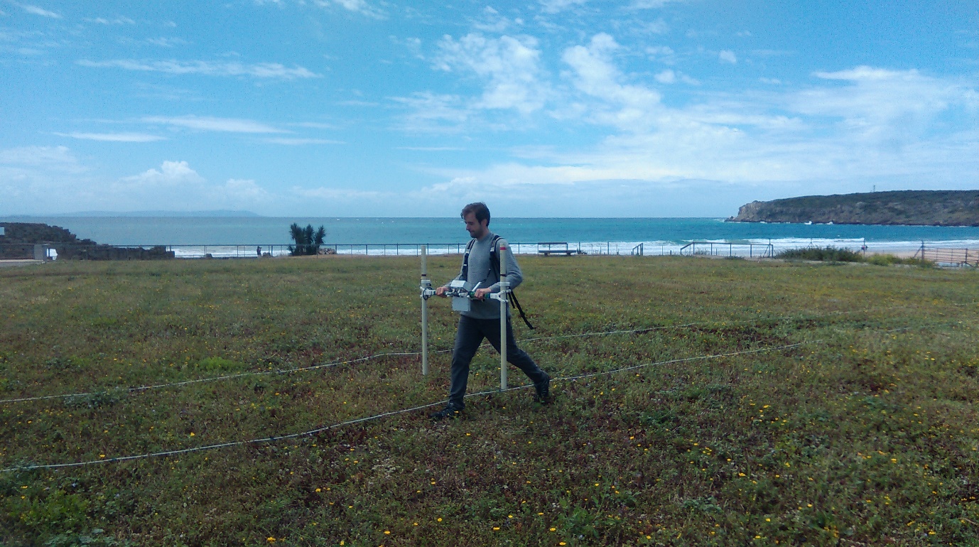
In addition a magnetometer survey was conducted over the southern part of the town, and across the foreshore and beach to the south of the archaeological park . The coverage with the magnetometer on the beach was crucial, as the terrain precluded any extensive survey with the GPR, due to the slippage of the cart and odometer wheel on the sand. The magnetometry was conducted using a Bartington Instruments Grad 601-2 fluxgate gradiometer.
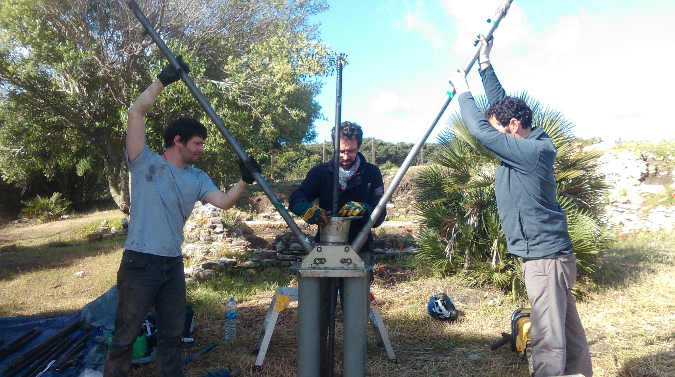
In addition to the geophysical survey an extensive borehole survey was conducted in the area to the west of the main excavations and on the foreshore.
Results of the geophysical survey indicate a significant number of archaeological features in the areas to the south and west of the excavations. A number of substantial discrete dipolar anomalies has been observed on the foreshore. These seem to suggest the presence of features designed to break the strength of the tide or protect parts of the beach.